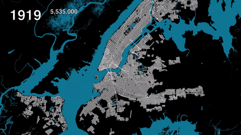
An Animated Map Showing Urban Growth in the Five Boroughs of New York City From 1609 to 2019March 12, 2019
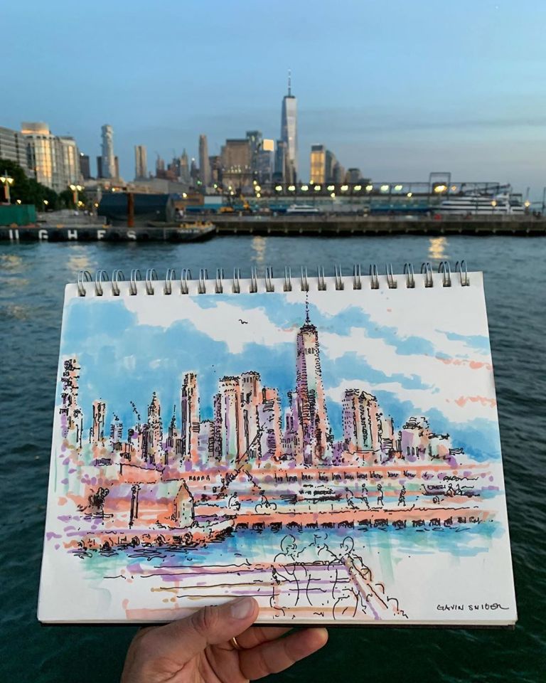
Brooklyn Artist Captures the Beating Heart of New York City in Gorgeous Sketches and Large-Scale MuralsJanuary 27, 2020
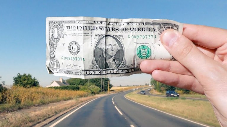
The Difference Between One Million Dollars and One Billion Dollars Measured in Physical DistanceJuly 14, 2020
A Fourth Generation Seltzer Delivery Man in Brooklyn Is Working to Keep His Family’s Tradition ThrivingJuly 24, 2018
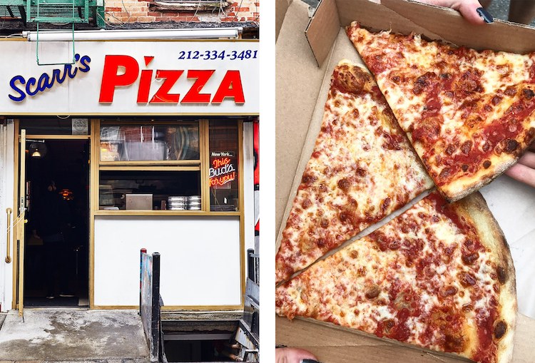
Food Editor Visits 23 New York City Pizzerias in 24 Hours to Determine Which Makes the Best SliceJune 7, 2018
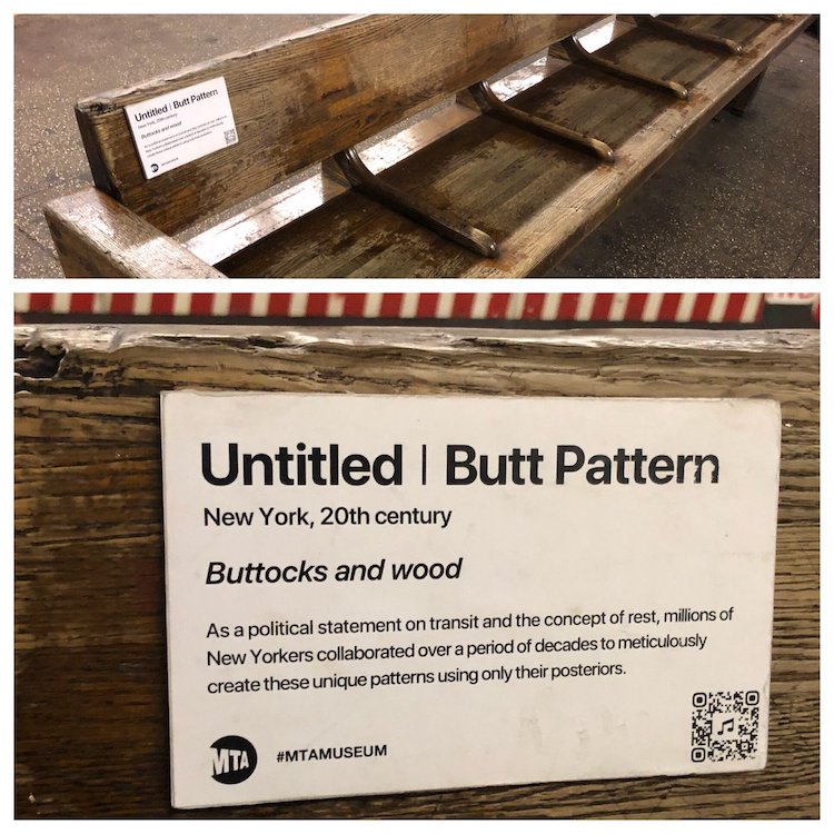
A Hilarious Installation Documenting 114 Years of Unintentional Art Within the NYC Subway SystemNovember 19, 2018
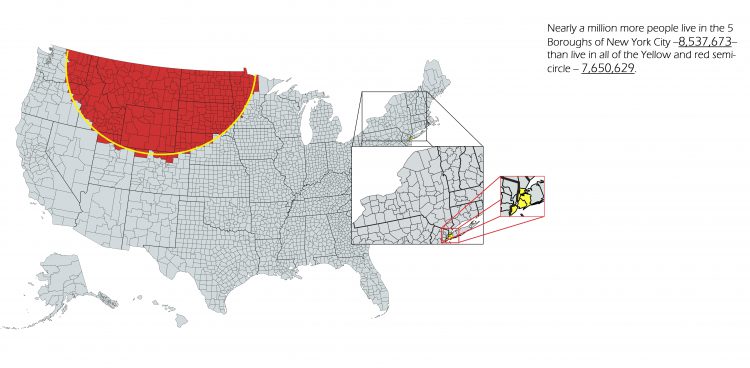
A Map Showing How More People Live New York City Than the Sum of Parts of Nine Different StatesJanuary 25, 2018
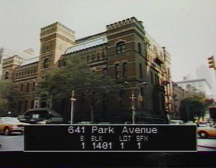
80s.NYC, An Online Collection of Street View Photos Taken in All Five Boroughs During the 1980sSeptember 19, 2017
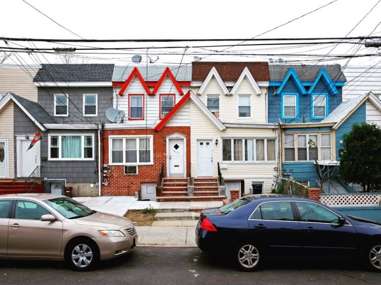
A Cozy Photo Series Capturing the Colorful Diversity of Different Homes Found Around Queens, New YorkJanuary 14, 2019