An Intricately Detailed Map Showcasing the Thousands of Rivers and Waterways in the United States
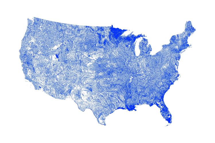
Designer and data scientist Michael Toth of Artful Data has created a minimalist map of the United States that showcases the thousands of thousands of rivers, lakes, streams, ponds, and canals within her borders. The data for this poster was retrieved from the United States Geological Survey National Hydrography Dataset for utmost accuracy in representation.
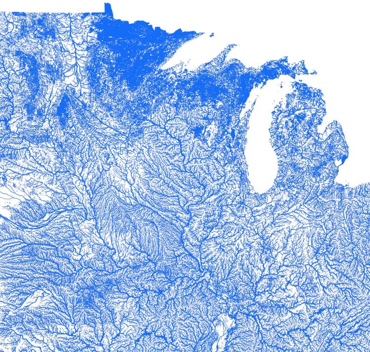
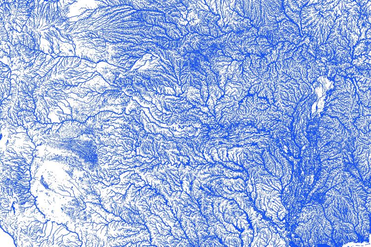
Data reveals information about the world we live in, and it tells us about who we are. Most importantly, I’ve found that data can be breathtakingly beautiful. …My United States map is created from public watershed datasets and shows the thousands of rivers and waterbodies of the country in incredible detail. These images are extremely high resolution, so they look great up close and far away. …This physical art print comes printed on thick, museum-quality, durable, matte paper, and is available in a range of sizes from 8x10in up to 24x36in!
This print and other items are available for purchase through the Artful Data Etsy Shop.

submitted via Laughing Squid Tips