Google Removes Clouds From Its Satellite Mapping Products
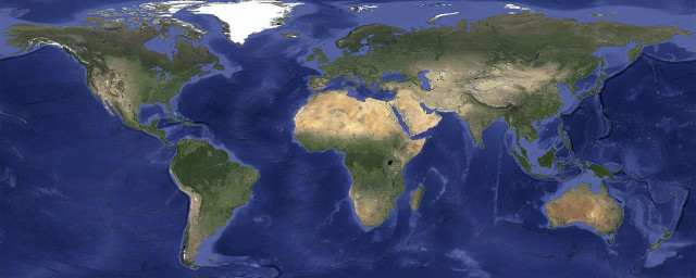
Last week Google rolled out improved satellite imagery across all of its mapping products. Based on imagery from the NASA/USGS Landsat 7 satellite, Google’s new higher resolution image of earth weighs in at 800,000 megapixels and is now nearly free of cloud cover thanks to software trickery. The new imagery can be seen on Google Earth and the satellite view of Google Maps.


