A Custom Map Project That Pinpoints Every Geographical Reference of Common Names
Artist and scientist Stephen Von Worley has created a project that uses the geographic database from OpenStreetMap and Google Maps to create an interactive database of streets, cities, rivers, parks, and more features that share names with 10,000 common first names as sourced from Wikipedia, the United States’ Social Security records, and the United Kingdom’s Office for National Statistics.
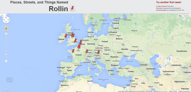
The project generates a worldwide map filled with red pushpins that each indicate a geographical feature or noteworthy structure that shares a name with the user-submitted name. Each can then be clicked to zoom in for detailed information, and the red pushpin next to the submitted name above the map will grab a random location to showcase.
via The Presurfer