NYC Space/Time Directory, A Project to Create an Interactive Historical Map Interface of New York City
The NYC Space/Time Directory is an on-going project created by the New York Public Library designed to compile and create an exhaustive interactive map of New York City that allows users look up historical locations, events, and people in the city over the centuries.
The NYC Space/Time Directory will make urban history accessible through the kinds of interactive, location-aware tools used to navigate modern cityscapes. It will provide a way for scholars, students, and enthusiasts to explore New York City across time periods, and to add their own knowledge and expertise.
The project will utilize old maps, photographs, newspapers, and more while opening up its API and data set to developers in order to offer different experiences around the aggregated vintage data. The NYPL is currently seeking partners to contribute data and development help with the project.
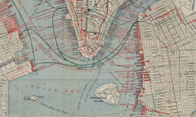
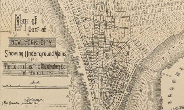
images via Fast Company
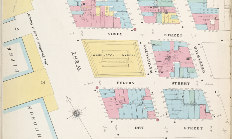
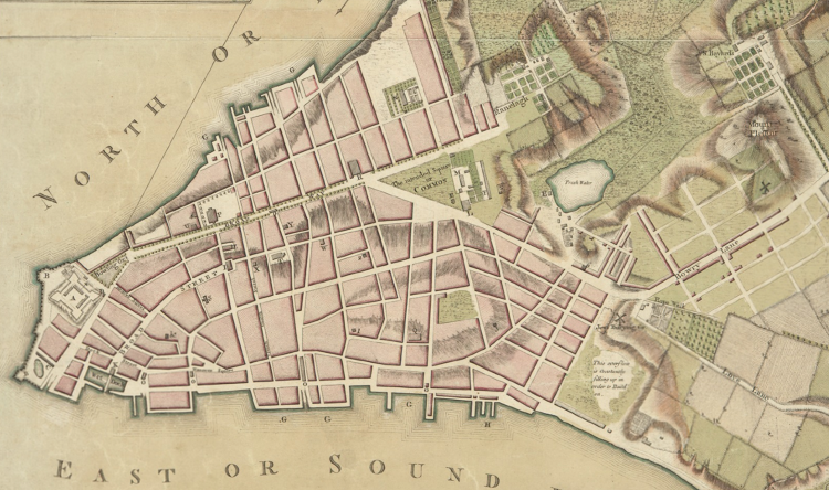
via Fast Company