A Miniature Downtown Chicago Cityscape Puzzle With 3D Tiles Printed Using Real Time Aerial Data
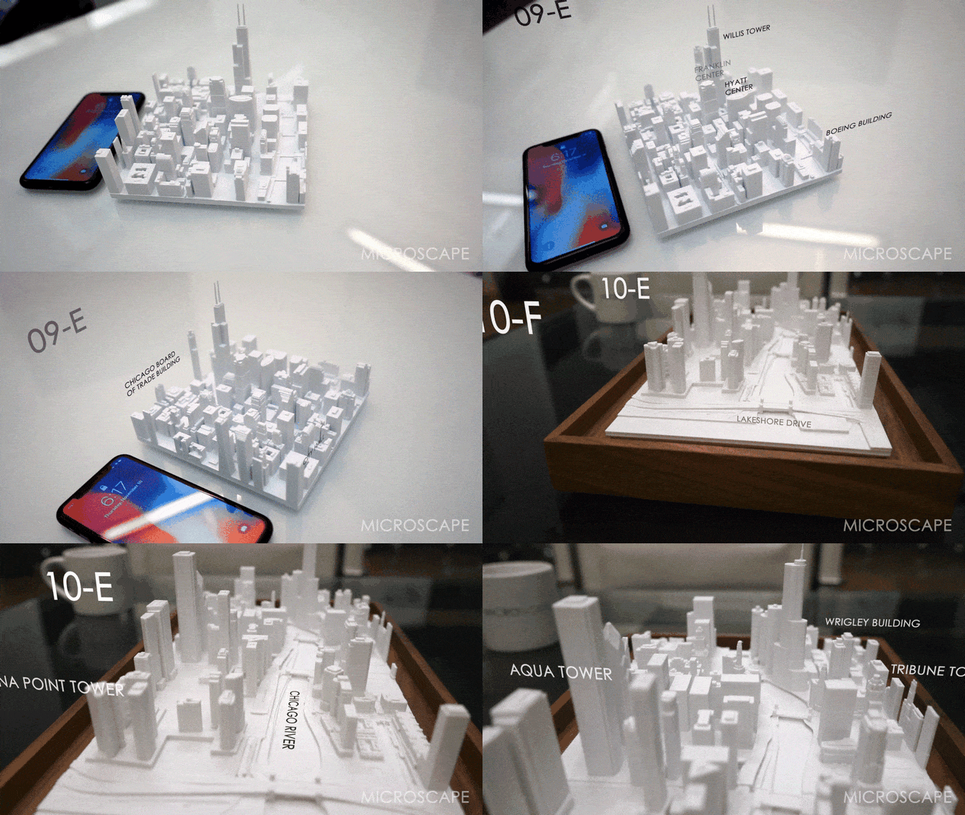
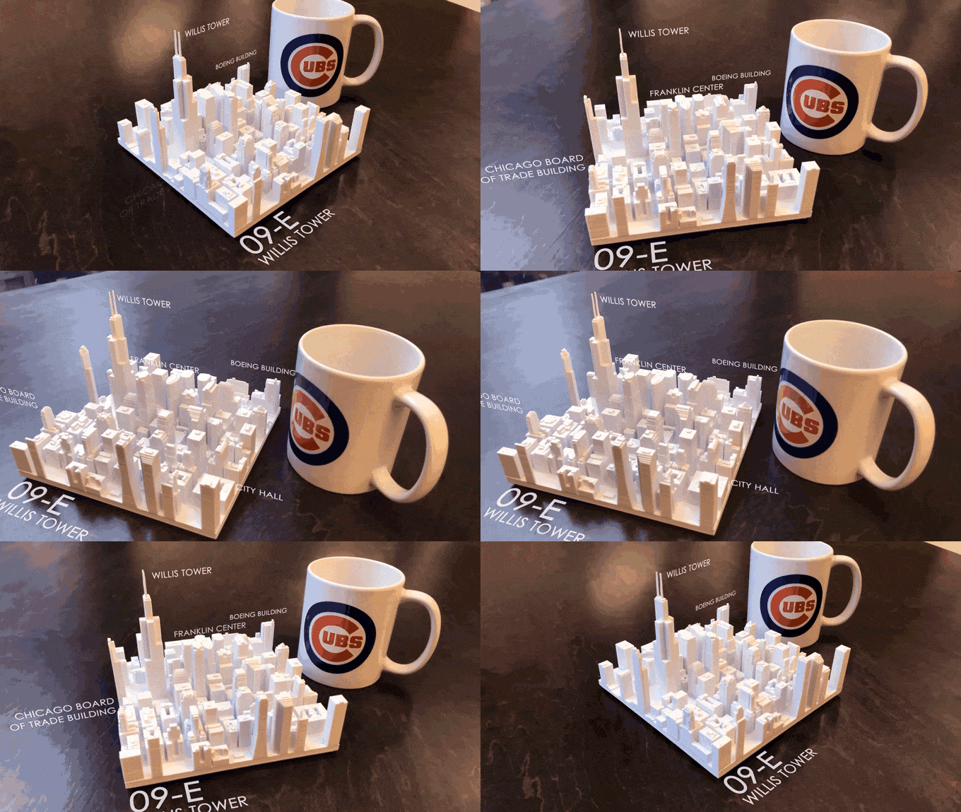
In February 2016, we wrote about Microscape, a wonderful collaborative project between New York City based architectural design firms TO+WN Design and AJSNY and their 3D printed customizable topographically-correct tiny cityscape of New York City. Almost two years later, Microscape is raising funds through Kickstarter to create a second version of this amazing project for downtown Chicago. Each interlocking piece is 3D printed using data from real time aerial scans.
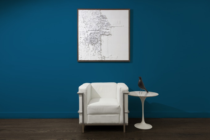
Microscape’s second city is the Second City. …As with the Manhattan Collection, Microscape’s Downtown Chicago Collection slices up the city into a north-south-oriented grid of six-inch squares. Each square equates to approximately ½ of a mile (around four Windy City blocks) at 1:5000 scale. The 1.3° skew from true north of Chicago’s street grid makes for a more visually interesting sculptural piece, as streets, buildings, bridges and the Chicago River are all cut through at a slight angle.
via My Modern Met

