Balloon and Kite Imagery in Google Earth
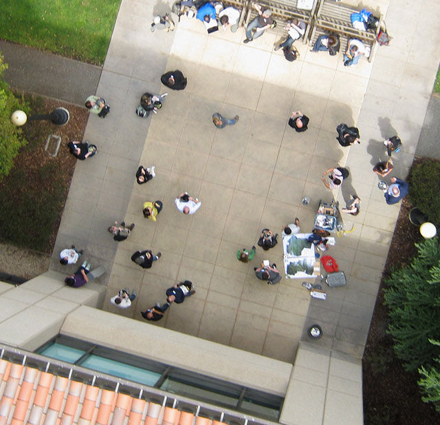
The Google Earth team recently announced they are incorporating aerial imagery from an unusual source—the balloon- and kite-borne cameras of volunteer mappers from The Public Laboratory for Open Technology and Science. The Public Laboratory is a grassroots science community that is developing DIY tools for scientific measuring, monitoring, and exploration. The DIY aerial mapping systems cost 100 to 200 dollars to assemble (plus the price of an inexpensive digital camera), and can be used by non-experts.
image of Stanford University campus by Jeffrey Warren and Stewart Long


