OldNYC, Historic City Photos From the New York Public Library Plotted Onto Google Maps
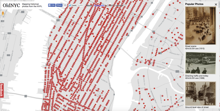
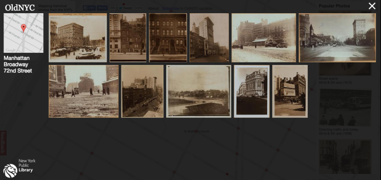
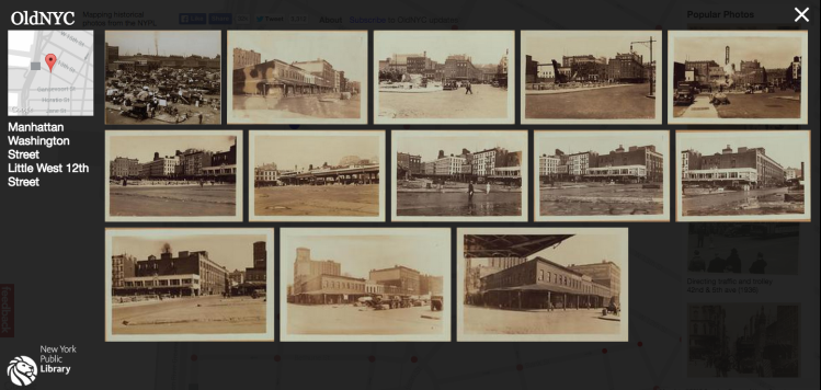
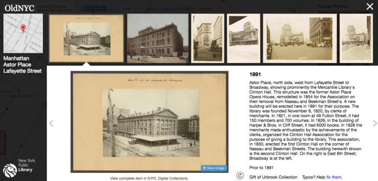
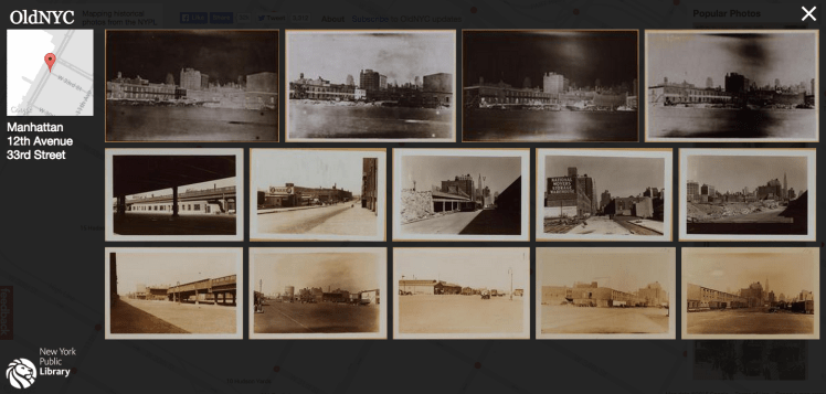
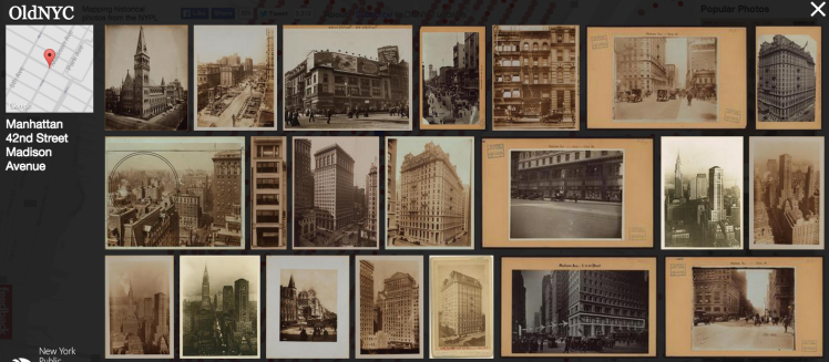
OldNYC is a fascinating project that uses Google Maps to plot historic data from the New York Public Library‘s digital collection of Percy Loomis Sperr’s photographs. Each clickable red dot on the map offers a vast array of information about the specific location, the buildings and sometimes even floor plans of residences that once stood there. Dan Vanderkam and Raven Keller, the people behind this project wanted to provide the public with an easy way to navigate this wonderful history.
This site provides an alternative way of browsing the NYPL’s incredible Photographic Views of New York City, 1870s-1970s collection. Its goal is to help you discover the history behind the places you see every day. And, if you’re lucky, maybe you’ll even discover something about New York’s rich past that you never knew before! …The images all come from the New York Public Library’s Milstein Collection. While many photographers contributed to the collection, the majority of its images are the work of Percy Loomis Sperr, who documented changes to the city from the late 1920s to the early 1940s. The Library retains the copyright for many of these images. For details, please read their Terms and Conditions page. The creators of this site did not collect or digitize any of these images — credit for that massive undertaking belongs entirely to the Library.
images via OldNYC/New York Public Library
Thanks Jason Laskodi!

