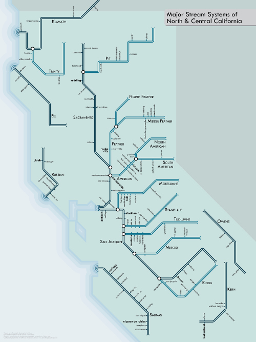
Urban Transit-Style River Maps
image by Daniel Huffman
Imagine that you’re a wayward adventurer, someone like John Wesley Powell in 1869, and you’re traveling down a mysterious and foreboding river. You know what’d be kind of nice? A map.
Even nicer, especially for us city slickers, would be a simplified map showing the whole river system, tributaries, forks, and all. That way, you know exactly which stop to disembark from your trusty raft.
Fortunately for us, Daniel P. Huffman, a cartographer at University of Wisconsin-Madison, has created a series of such maps. Done in the classic style of transit maps, his maps feature Northern California rivers, New England rivers, Columbia River, Colorado River, and even the mighty Mississippi.


