Map Showing the Exact Geographic Center of Every State in the United States
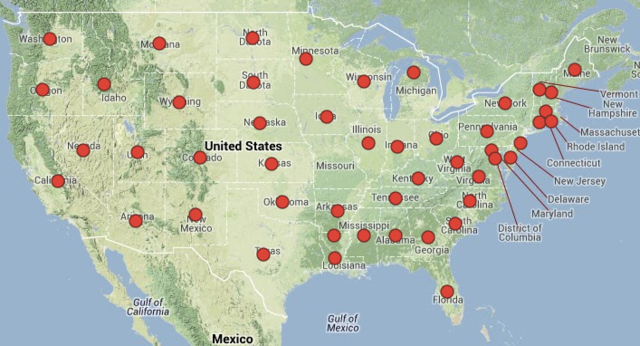
Motherboard reporter Dan Stuckey created a map that shows the geographic centers of every single state in the United States. You can explore the interactive map on Google Maps.
These spots may be abstract, and solely the musings of geographers. And you can argue all you want that centralization in geography is a thing of the past. Of course, these points have nothing to do with people. Rather, they’re just the most central locations of each state’s geographical boundary. (However, the population center of West Virginia, did at one point in 1860, overlap the geographical center.) Regardless of the scholarly value, I’d argue that these locations are pleasing to the mind, if not downright interesting to think about for a variety of reasons:
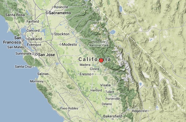
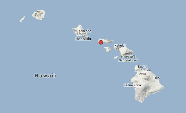
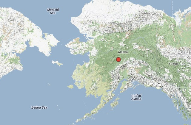
images via Geographic Centers of the United States