The First New York City Street Grid Was Laid Out in Gravesend, Brooklyn in 1645
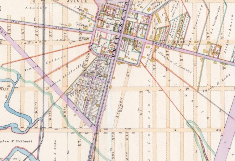
Map historian Daniel Steiner explained how the first street grid in New York City was laid out in the then-small British farming community of Gravesend, Brooklyn in 1645, nearly 150 years before the Manhattan street grid was developed.
It was a simple four-square grid that demarcated property lines of different farms with a public square in between. The person behind this design was Lady Deborah Moody, Gravesend settlement founder and the first woman to own land in NYC.
The fact that it’s a grid was only one of the uncommon things about its layout for the time it had a large public space for each block and it had these radiating boundary lines for farms that correlated to each block and the person behind all of this was Deborah Moody the first woman to own land in New York City.
Sadly, this square can’t really be seen anymore, as it has been incorporated into the city landscape.
The four square grid is still here but it’s been completely integrated into the rest of Brooklyn so you would never know it was here. A train cuts right through the center of this four square grid and I’m willing to bet that most of the passengers probably have no idea the history that they’re passing.


