Beautiful City Maps That Use Color to Visualize the Orientation of Street Grids

San Francisco
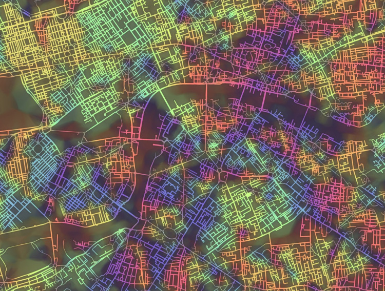
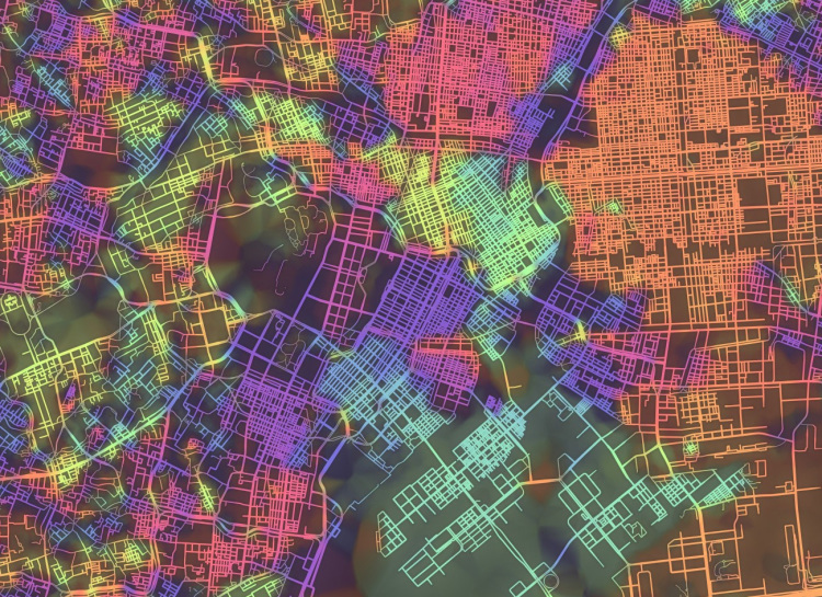
To visualize the various street grid systems of cities around the world, artist and scientist Stephen Von Worley has created Crayon the Grids, a beautiful series of city maps in which the streets have been color-coded based on their orientation. Von Worley created the visualizations algorithmically using OpenStreetMap.

New York City
London

Washington, D.C.
Tokyo
images by Stephen Von Worley
via Flowing Data