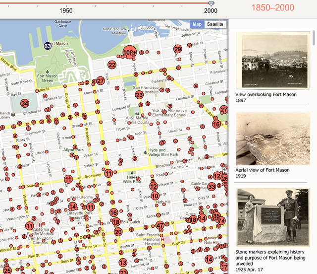
Old S.F., An Interactive Map of 16,000 San Francisco Photos Since 1850
Old S.F. is an interactive map of 16,000 geotagged photos of San Francisco from the time period 1850 to 2000. The photos are sourced from the San Francisco Public Library’s Historical Photograph Collection, which includes some 40,000 photos. Old S. F. was created by Dan Vanderkam and Raven Keller.
via Steve Hoefer

