Don’t Fly Drones Here, A Crowdsourced Map of Local Drone No-Fly Zones in the United States and Canada
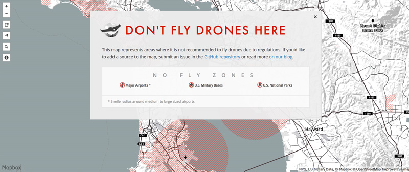
Don’t Fly Drones Here by open-source mapping tool MapBox highlights off-limit zones for UAV owners in the United States and Canada based on local regulations — including locations with major airports, military bases, and national parks. The map’s creators are seeking submissions for additional off-limits areas.
image via MapBox
via Wired

