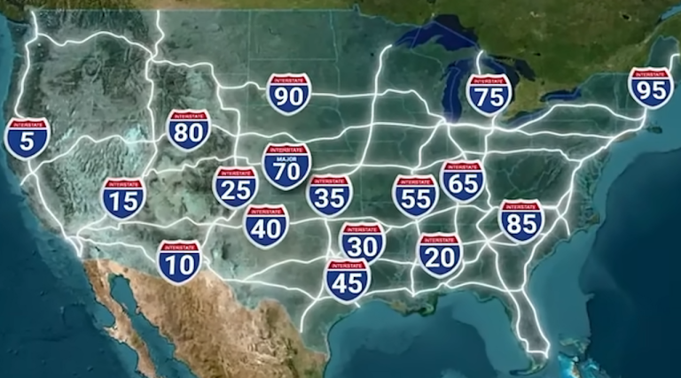
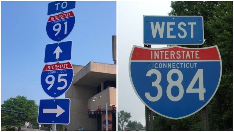
The Logic Behind the Interstate Highway Numbering System in the Contiguous United StatesJuly 21, 2021
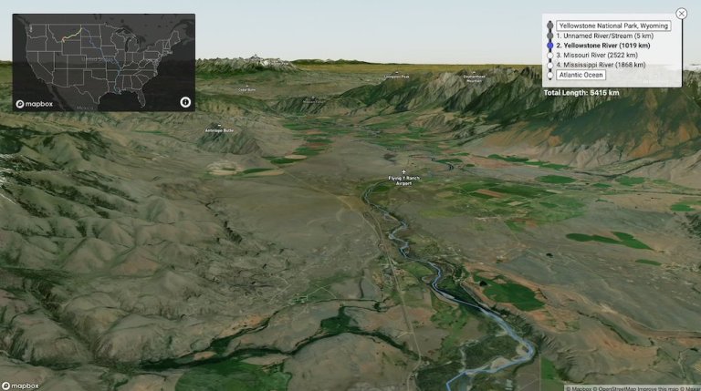
An Interactive Map That Traces the Path of a Raindrop Down Rivers and Streams to See Where It Ends UpMay 28, 2021
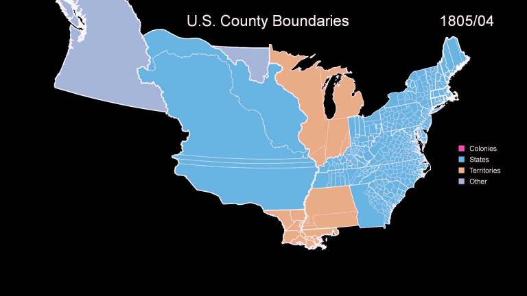
An Animated Timeline Showing the Border Changes of the 48 Contiguous United States Over 400 YearsMay 30, 2017
Rearranging the Shapes of the States to Create a New Map of the United States of AmericaMarch 10, 2016
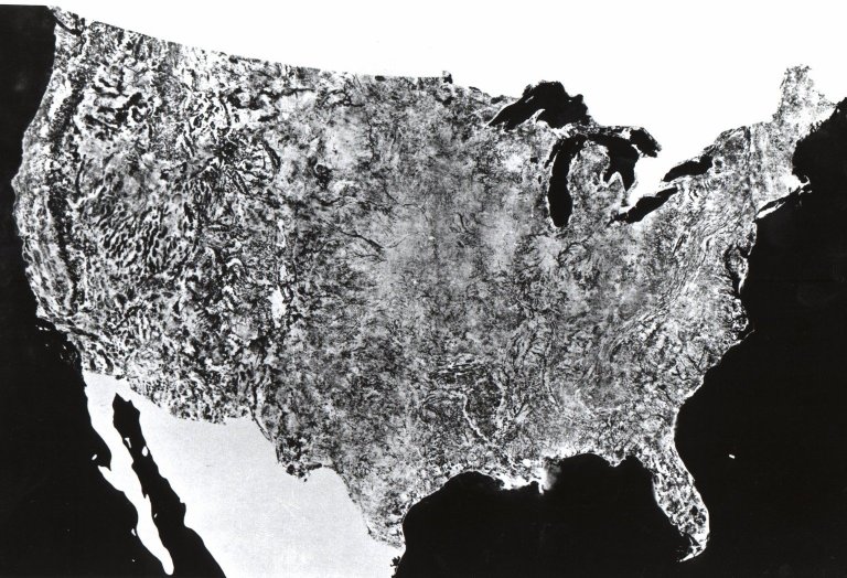
A 1974 Satellite Composite Shows the First Image of the Contiguous United States Taken From SpaceJanuary 14, 2015