The Frontiers of Google Street View, Photo Series of Dead Ends, Borders, & More
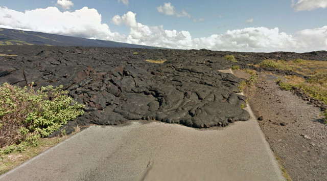
Kaimu-Chain of Craters Road, Hawaii. Past eruptions of the Kilauea volcano have covered the road in several places.
Alan Taylor of The Atlantic has assembled a collection of images from the frontiers of Google Street View—dead ends, borders, shorelines, and other ends of the road.
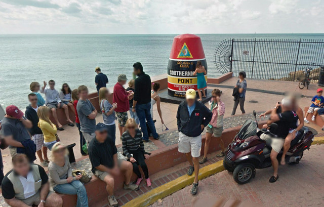
The Southernmost point buoy in Key West, Florida.

Nordkaphallen, a visitor center at the northernmost tip of Europe, in northern Norway.
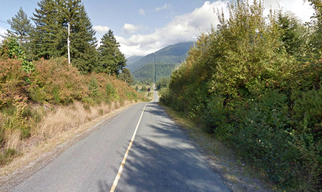
Canada to the left, United States to the right, on Henderson Road, British Columbia. The road turns left just ahead, the line cut through the trees at center marks the international border.
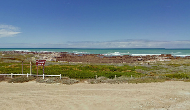
The southernmost point in Africa, Cape Agulhas, South Africa.
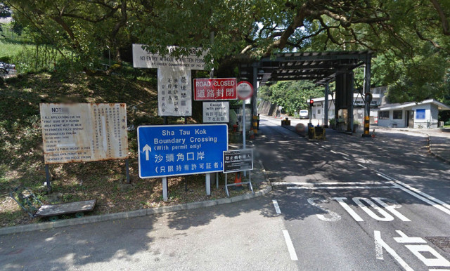
Sha Tau Kok crossing, New Territories, Hong Kong. This crossing marks the entry into the Frontier Closed Area, a tightly controlled buffer zone between Hong Kong and mainland China.

A weathered jetty on Sand Island, Midway Islands.

A Google Maps Street View car, photographed at the end of Navy Road, north of Inuvik, Northwest Territories, Canada