Flyover Country App Helps People Learn About the Ground Beneath Them When Flying In a Plane
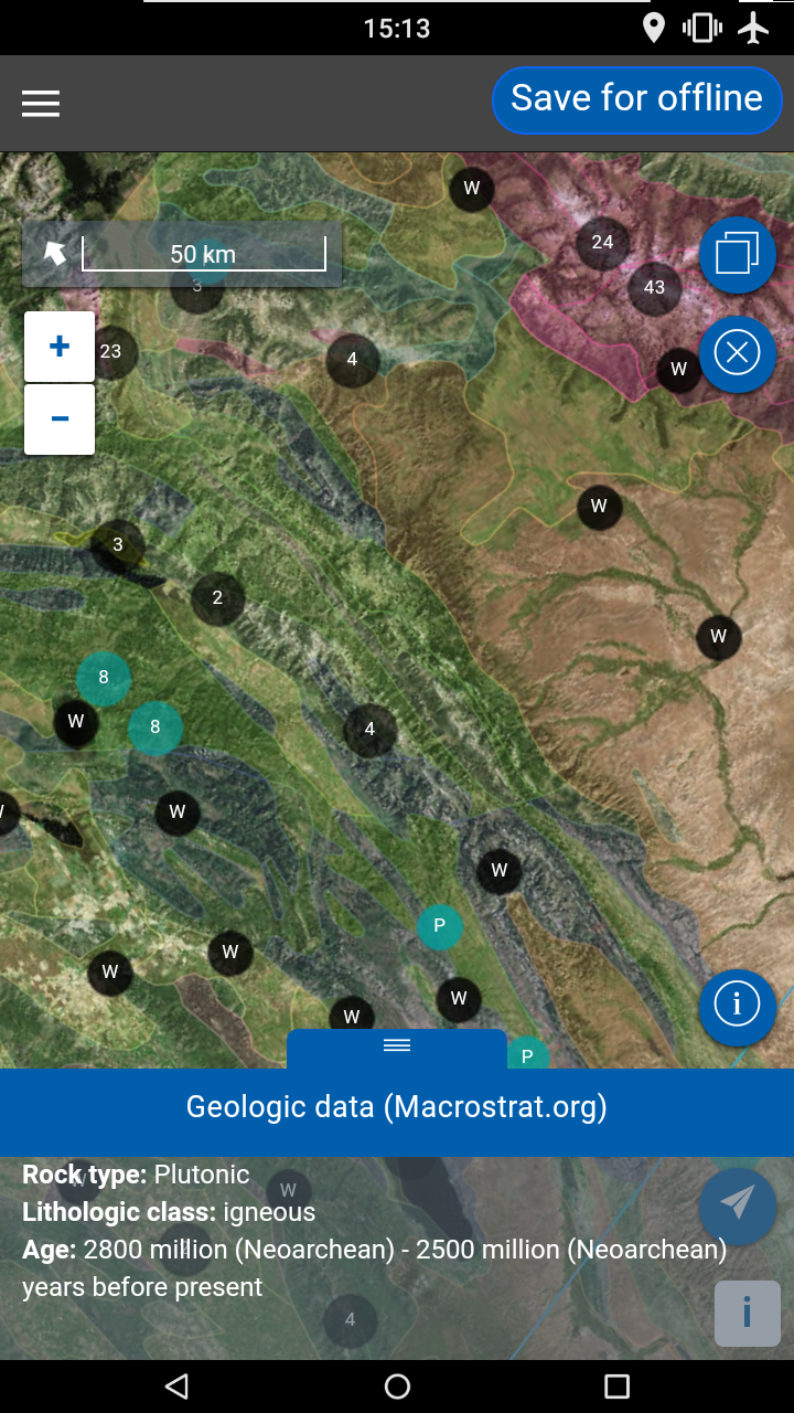
People can now learn about the ground beneath them as they fly using the new Flyover Country app developed at the University of Minnesota. The app uses GPS data to show information about the geology of land as well as fossil locations and other points of interest, even without inflight Wi-Fi.
The app is available now in the iTunes App Store and the Google Play Store.
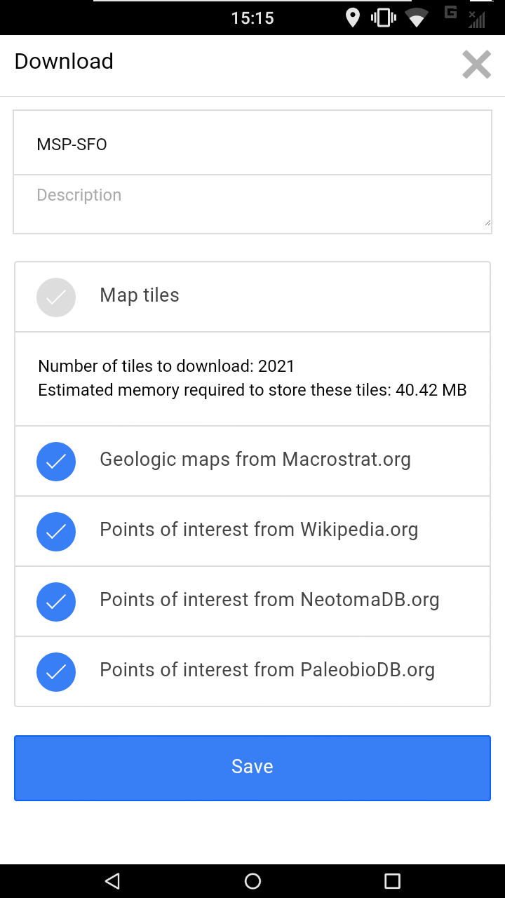
The app exposes interactive geologic maps from Macrostrat.org, fossil localities from Neotomadb.org and Paleobiodb.org, core sample localities from LacCore.org, Wikipedia articles, offline base maps, and the user’s current GPS determined location, altitude, speed, and heading. The app analyzes a given flight path and caches relevant map data and points of interest (POI), and displays these data during the flight, without in flight wifi.


images via Flyover Country
via Flowing Data


