Proud New Yorker Julian Boilen has put together a wonderful interactive map that displays photographs of every building within the five boroughs of New York City that were taken between the years 1939 and 1941 by the Works Progress Administration and the New York City Tax Department.
The physical photo collection is housed at the New York City Municipal Archives.
In 2018, the NYC Municipal Archives completed the digitization and tagging of these photos. This website places them on a map.
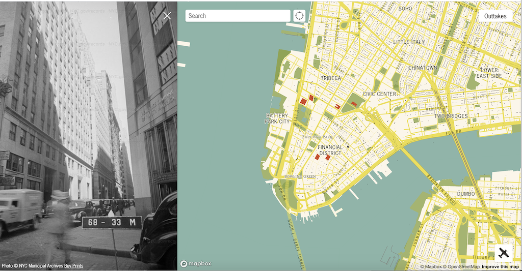
Financial District, Manhattan
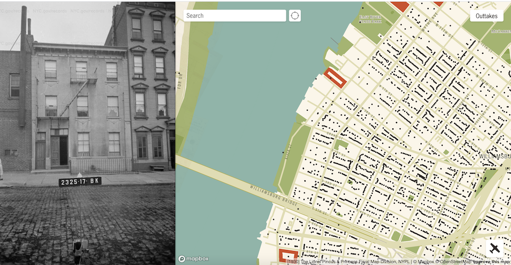
Williamsburg, Brooklyn
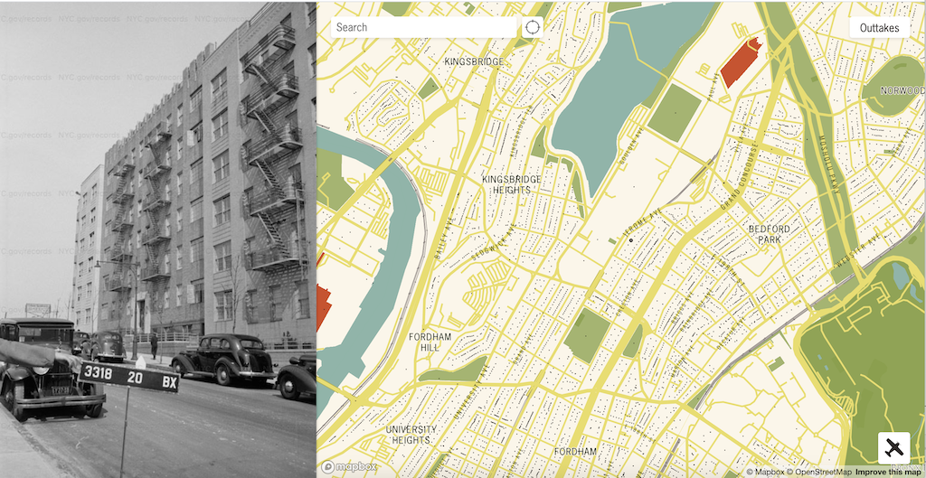
The Bronx
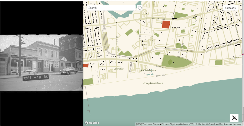
Coney Island, Brooklyn
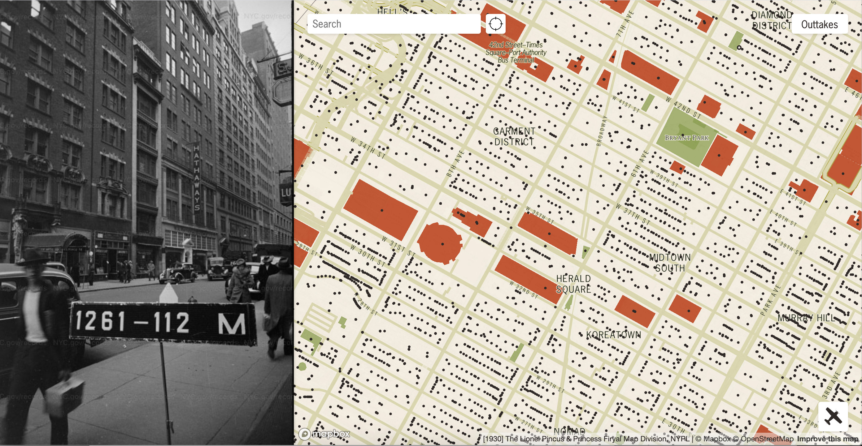
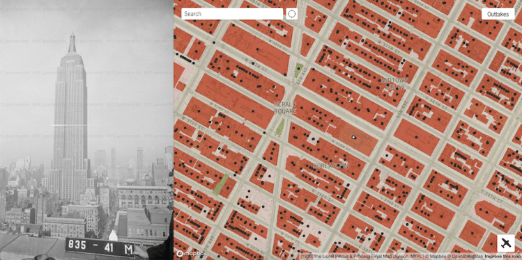
Garment District, Manhattan
Greenpoint, Brooklyn
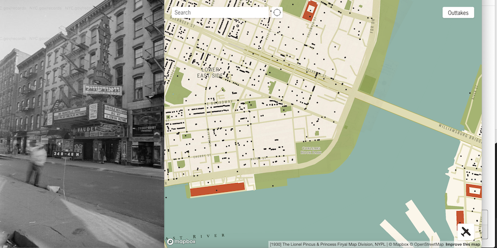
Lower East Side, Manhattan
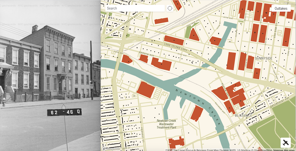
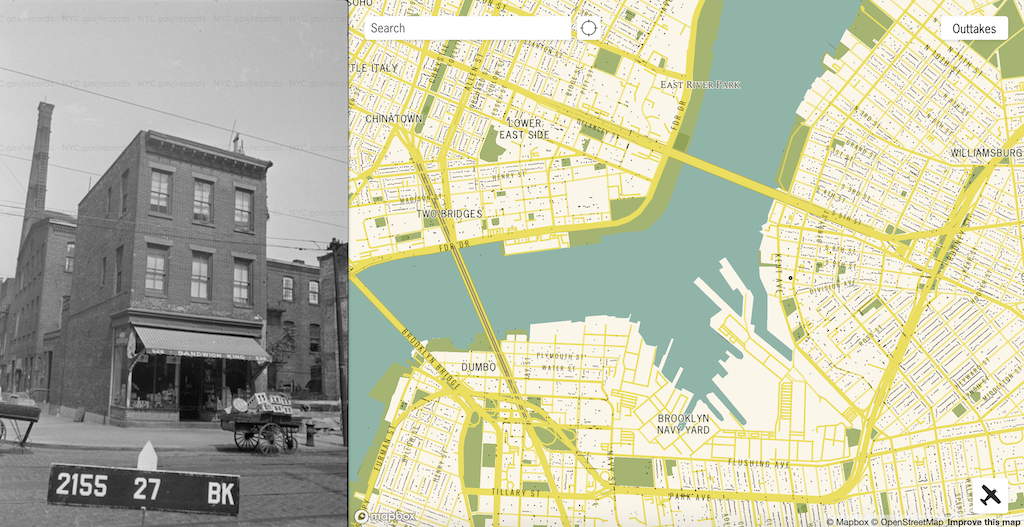
Newtown Creek, Queens
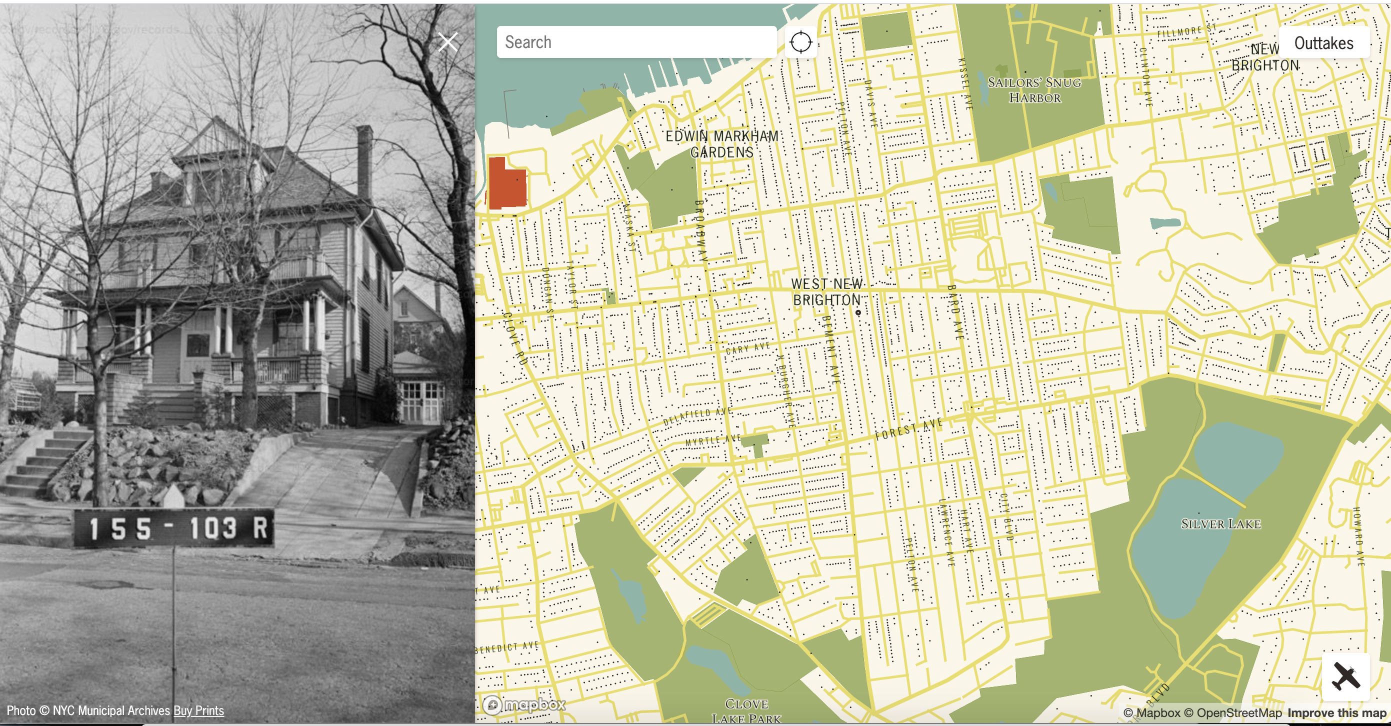
Staten Island, New York
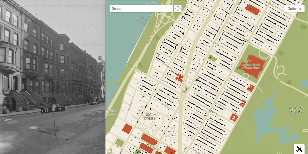
Upper West Side, Manhattan
via Paul Stamatiou