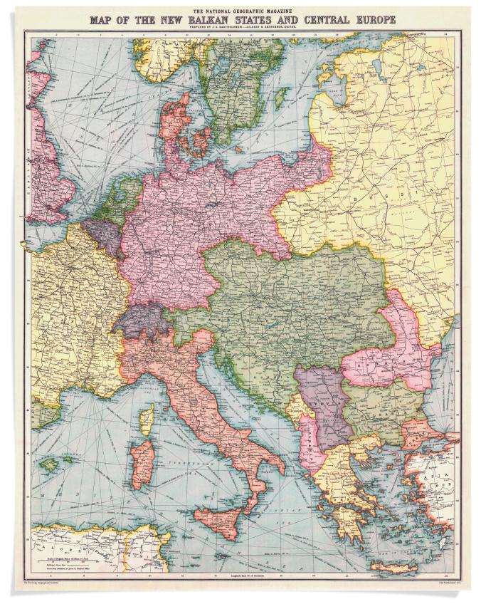
A 1914 map of Central Europe produced shortly before the start of World War I.
To mark the 100-year anniversary of its cartographic department, National Geographic has posted a fascinating feature on notable maps it has produced over the past century. According to National Geographic, the society has produced 10 world atlases, 438 supplement maps, and about 3,000 maps for the magazine.
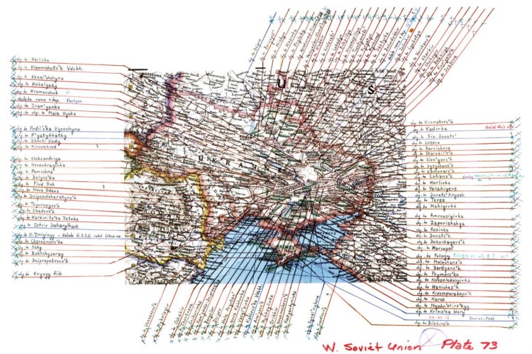
Revisions to a map of Ukraine after the fall of the Soviet Union in 1991.
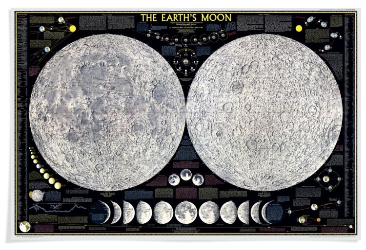
A 1969 map of the moon.
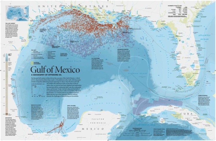
A map of the oil rigs located off the Gulf Coast of the United States. The map was created after the 2010 Deepwater Horizon spill.
images via National Geographic
via Flowing Data