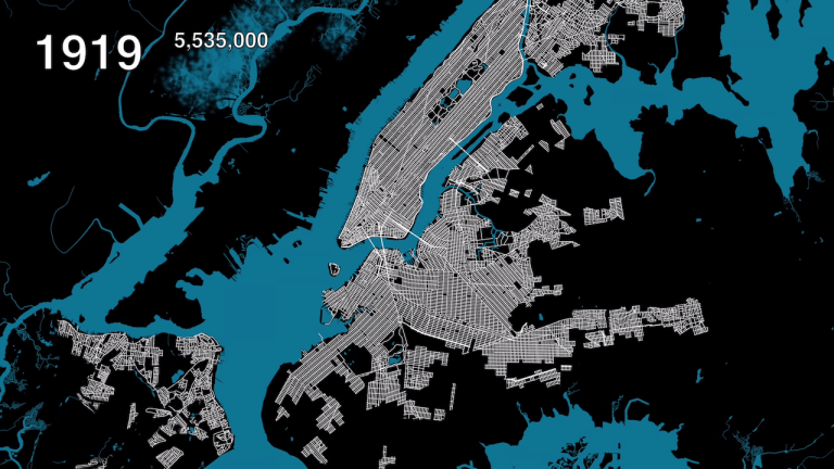
An Animated Map Showing Urban Growth in the Five Boroughs of New York City From 1609 to 2019
Columbia University student Myles Zhang has created “Here Grows New York City”, a really informative animated map showing the vast urban growth that took place within New York City and its surrounding boroughs of Queens, Brooklyn, the Bronx, and Staten Island from 1609 through 2019. While initial growth took place in lower Manhattan, it didn’t … Continue reading An Animated Map Showing Urban Growth in the Five Boroughs of New York City From 1609 to 2019