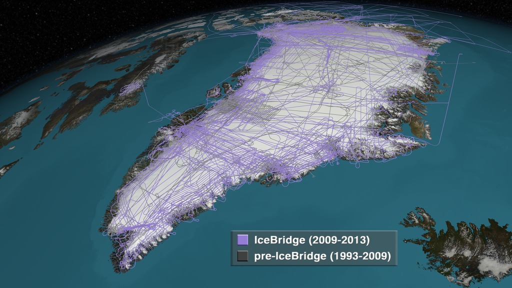
NASA Uses Ice-Penetrating Radar to Create 3D Maps of Thousands of Years of Ice in Greenland
Using decades worth of data collection from ice-penetrating radar and airborne campaigns, NASA has created comprehensive 3D maps detailing thousands of
Brian Heater