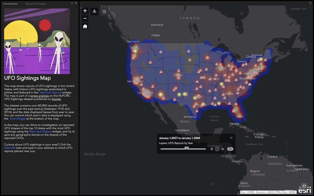
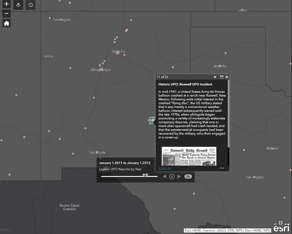
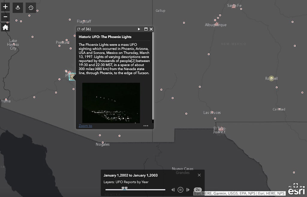
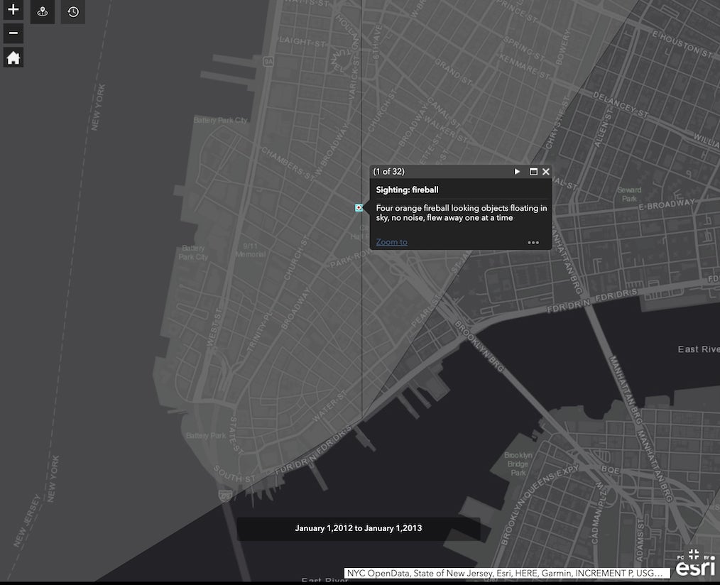
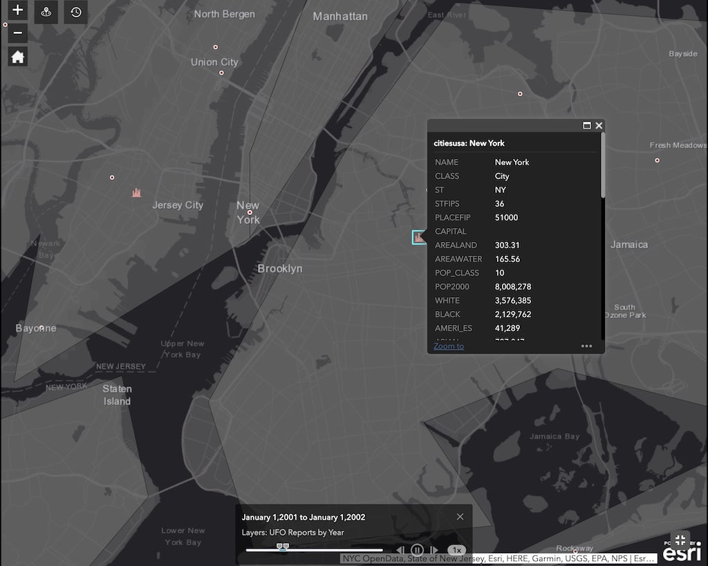
The UFO Sightings Map is a highly informative, interactive map that plots information about the numerous UFO sightings across the United States throughout the years. Drawing from data collected from data scientist Hakeem Frank, the map includes a “Time Widget” that allows for chronological customization. Additionally, users can tap into a specific area to learn more about a specific sighting.
This map shows reports of UFO sightings in the United States, with historic UFO sightings symbolized in yellow, and featured in the Historical Reports widget. The dataset contains over 80,000 records of UFO sightings over the past century (between 1910 and 2014), and the data displayed lapses from year to year. Y
via Boing Boing