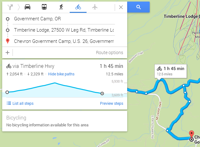
Google has added elevation data to bicycling routes on Google Maps. This unannounced feature allows cyclists to better understand exactly what they’re getting themselves into when they start out on a trek. Previously, this data wasn’t visible, meaning that cyclists might start a trip only to quickly realize the elevation was too much for them to tackle.
Users can trace their cursor along the elevation route to see exactly how high any given spot is during their trip. The steepness of an incline or decline can be determined at a glance by viewing the entire route as a whole.
via TechCrunch