“It’s a door into another world (one which, quite literally, lies below the boat).”
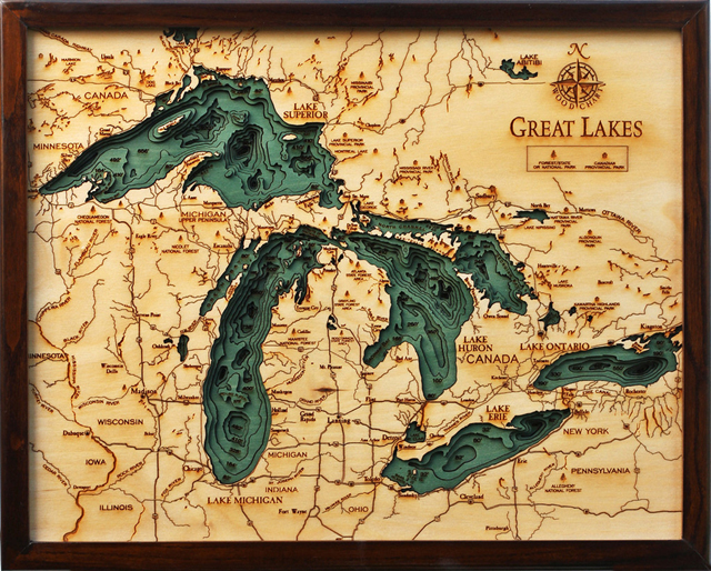
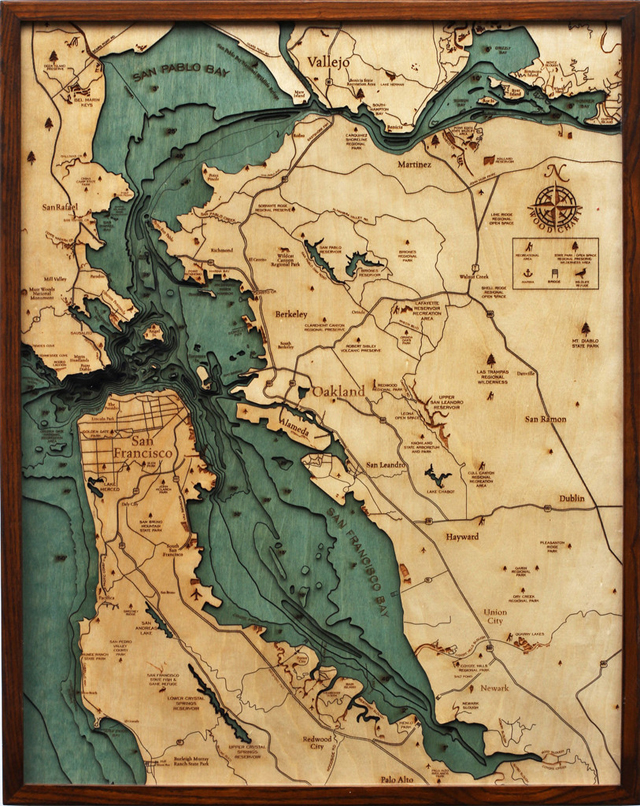
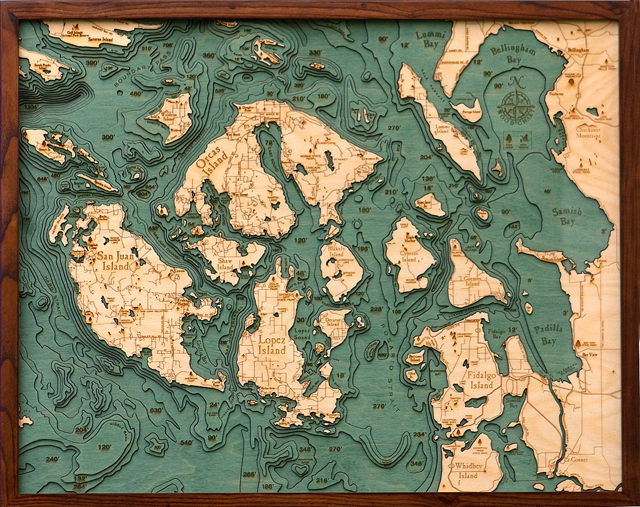
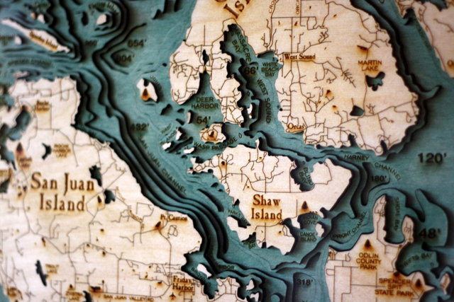
Robbie and Kara Johnson are behind Below the Boat, a website that specializes in wonderful laser-cut and layered wooden charts showing underwater topographical features (also known as bathymetric charts). Regions in the West Coast, Interior Lakes and East Coast are available to purchase online.
Starting with a bathymetric chart (the underwater equivalent of a topographic map), the contours are laser-cut into sheets of Baltic birch and glued together to create a powerful visual depth. Select layers are hand-colored blue so it’s easy to discern land from water, major byways are etched into the land, the whole thing’s framed in a custom, solid-wood frame and protected seamlessly with a sheet of durable, ultra-transparent Plexiglas.
The result is stunning. It lifts the surface of the water back like a veil, exposing the often-overlooked, under-explored, awe-inspiring world that lies below. To those familiar with the floor of the ocean or the bed of a lake, it’s a beautiful reminder of the deep channels, sharp drop-offs, and mountainous landscapes that are hidden from normal view. To the uninitiated, it’s wonderfully eye-opening; as though the world suddenly took on a fourth dimension.
images via Below the Boat
via Cool Hunting, GBlog, Colossal