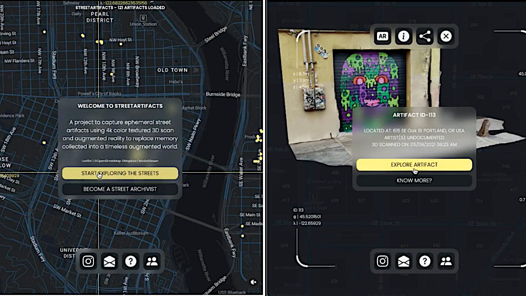
Street Artifact, An Interactive Map That Plots Urban Street Art in Augmented RealityNovember 15, 2022
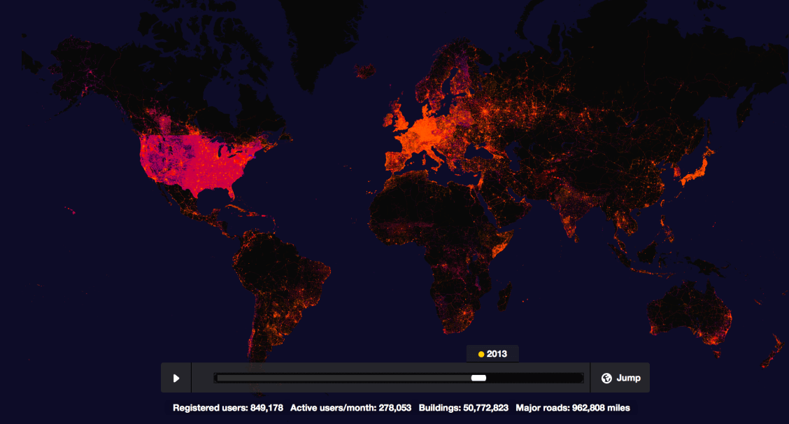
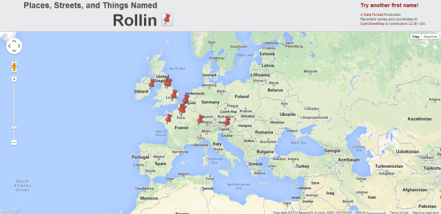
An Interactive Timeline Highlighting the Use of OpenStreetMap Across the World Over the Past 10 YearsFebruary 27, 2015