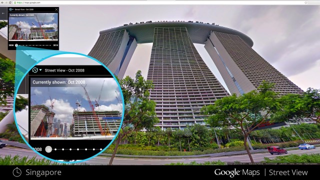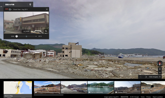
Google has released an update to Google Street View that brings historical collections of Street View data to Google Maps for desktop. Historical imagery for a given Street View is indicated by a clock icon in the upper left-hand area. Clicking on the clock opens a slider that allows users to shift to determine points in time.
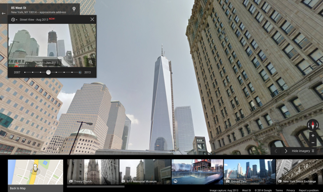
With data going back to 2007, the update allows users to explore things like the construction of the Freedom Tower in New York City.