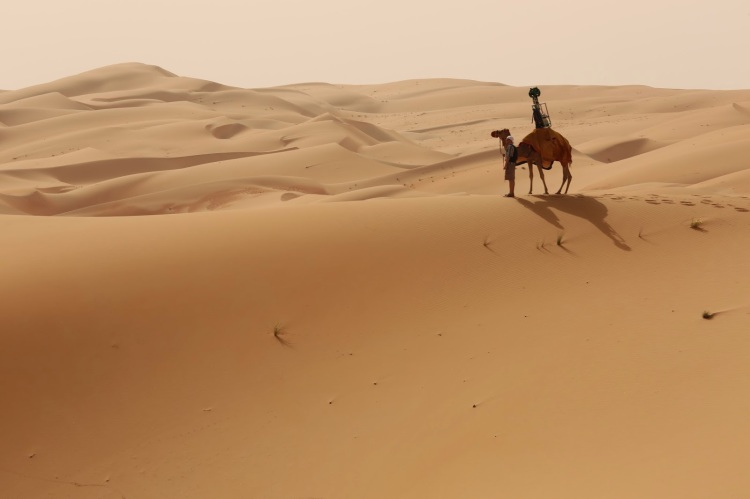
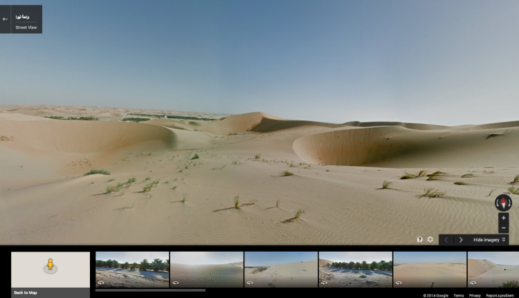
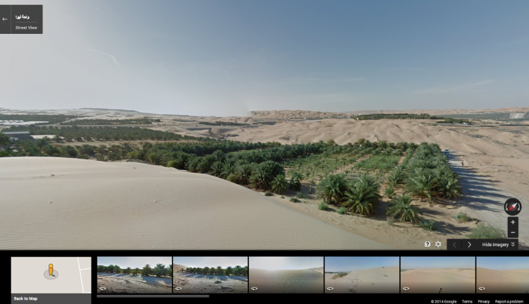
Google Maps has added the Liwa Oasis and Desert to Street View after using camels mounted with Street View Trekkers to capture the imagery. Camels were specifically used in an attempt to minimize disruption of the environment that might have been caused by more traditional means of image gathering.
Imagine sitting atop a camel looking across a vast expanse of desert dunes. A glimmer of green flashes in the distance. It could be a mirage or a bountiful oasis just awaiting your discovery. Now with Google Maps, you can see for yourself and journey across the sands of the Liwa Desert, one of the most breathtaking landscapes in the world.
images via Google Lat Long