Senator Al Franken drawing a map of the US from memory during an appearance on Minnesota Public Radio’s Midday at the Minnesota State Fair.
Al Franken Drawing Map of US From Memory

Scott Beale
Recent Posts
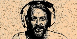
A Three Hour Radio Show Featuring Dr. Johnny Fever From ‘WKRP in Cincinnati’ as the DJ

Black Cats Lie in Wait For Model Train to Exit Tunnel

Man Hilariously Tries to Make Himself a Sandwich With an Adorably Nosy Cow Standing Over His Shoulder

Little Boy Kisses Each and Every Animal Before Taking Them For a Ride on His Tiny Tractor

The Beach Boys Sing ’99 Problems’ by Jay-Z